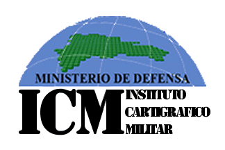
The flag of the Military Cartographic Institute can be found in photographs online, particularly here and here. The flag features the Institute's logo centered on a white field. The logo shows a blue hemisphere on top with a map of the Dominican Republic consisting of green dots, representing ICM's primary function of military mapping. Across the bottom of the hemisphere, in black capital letters, are the words "MINISTERIO DE DEFENSA." Below the hemisphere, in the bottom half of the logo, are the letters "ICM" toward the hoist, and the three words of the Institute's name stacked one above the other toward the fly. Randy Young, 18 January 2016
The Instituto Cartográfico Militar (ICM, Military Cartographic Institute) is the branch of the Ministry of Defense responsible for mapping, surveying, hydrography, and aeronautic charting supporting the Dominican Republic military, and for adequately training servicemen to perform those jobs. The Institute is also responsible for creating and maintaining cooperation agreements with domestic and foreign institutions dedicated to similar missions. ICM was created on 7 November 1985 by Decree No. 3449 and falls directly under the authority of the Defense Minister. Randy Young, 18 January 2016